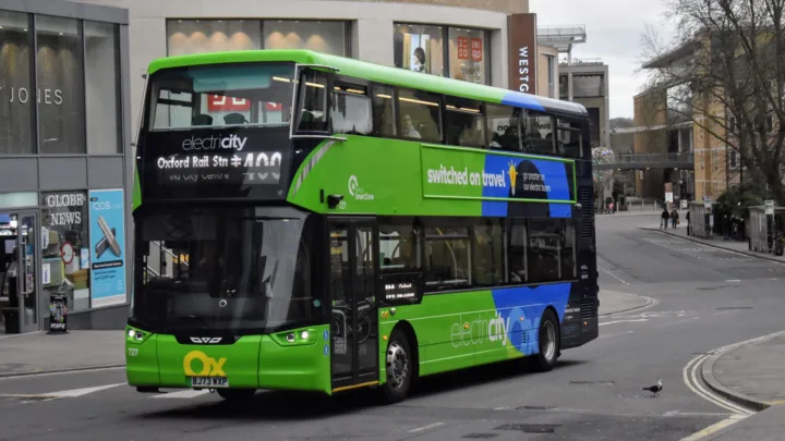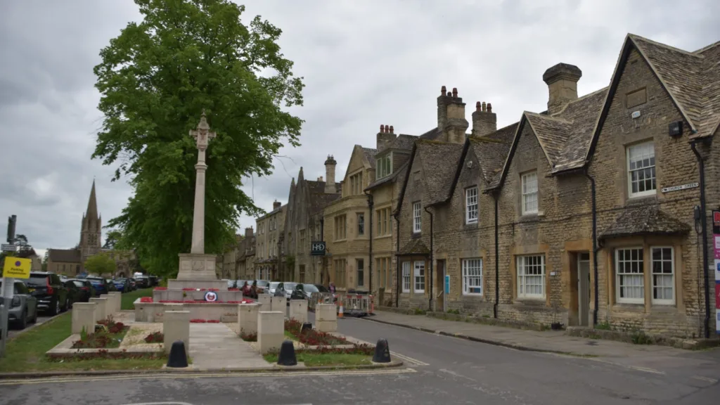
Oxfordshire County Council has approved a 25-year transport strategy for west Oxfordshire, setting out plans to improve connections between Witney, Carterton, Eynsham and Oxford while encouraging more sustainable travel.
The West Oxfordshire Lowlands Movement and Place (MAP) Plan was adopted by the council’s cabinet on 20 October. It establishes 15 objectives and 114 supporting actions intended to guide future transport schemes and help secure funding.
Around 87,000 people live in the area covered by the plan, which combines rural communities and major employment sites with growing towns and important visitor destinations. About 16 per cent of residents commute to Oxford for work, making connections with the city a central consideration.
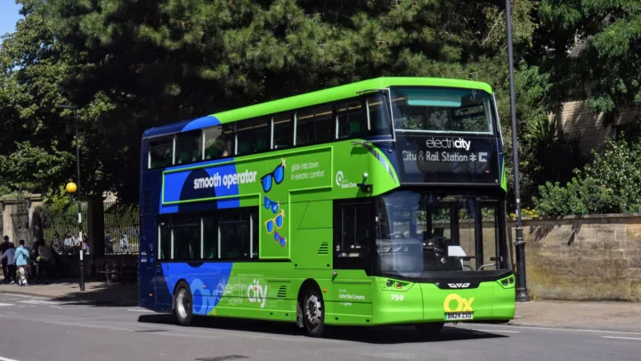
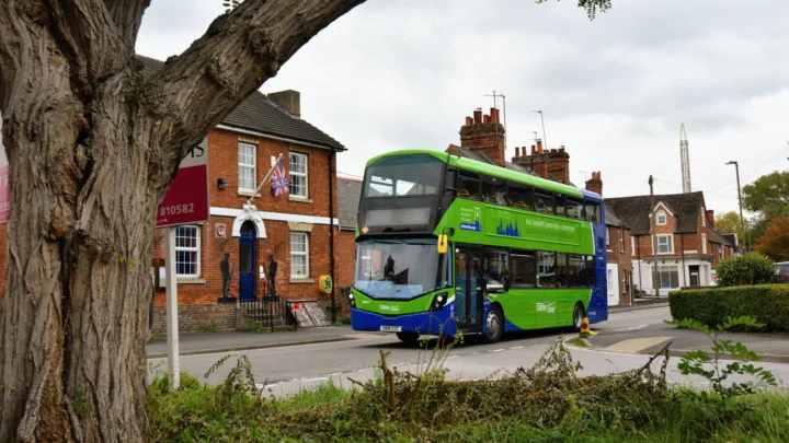
The strategy prioritises walking, wheeling, cycling and public transport, while recognising that private cars will remain necessary for some journeys. Its objectives include improving bus frequency and reliability, developing integrated transport hubs, expanding walking and cycling networks, and working with partners to improve rail services and infrastructure.
Mass rapid transit under consideration
One potential development is a mass rapid transit system connecting Carterton, Witney and Eynsham with Oxford. Oxfordshire County Council has commissioned consultants Jacobs to undertake an options appraisal examining how a high-frequency, high-capacity public transport network could serve the area.
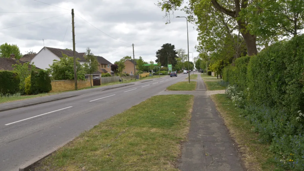
The study is intended to identify and evaluate feasible options that could be in place by 2050. It will consider existing and planned infrastructure alongside forecast travel demand and projected housing and employment growth.
The proposal comes against the backdrop of development pressures across west Oxfordshire. Up to 18,000 new homes and 60 hectares of employment land have been proposed for delivery by 2043, while the A40 remains the principal road corridor linking the area with Oxford.
However, the mass rapid transit project remains at the options appraisal stage. The council has not yet committed to a particular system, route or construction programme.
Councillor Gareth Epps, the county council’s cabinet member for transport, said the area had experienced inadequate travel options since the closure of the Witney railway in 1970. He described improved connectivity as essential, while acknowledging the difficulty of addressing congestion.
Part of a wider transport strategy for Oxfordshire
The West Oxfordshire Lowlands plan is the third of 12 proposed movement and place plans for Oxfordshire to be adopted, following those covering Science Vale and the Bicester area earlier in 2026.
The three plans address different pressures arising from population growth, employment and travel demand. Science Vale, which includes Didcot, Wantage, Harwell Campus and Milton Park, is preparing for a population increase from around 73,000 to more than 170,000 by 2050. In Bicester and its surrounding villages, the population is expected to rise from 58,700 to 66,100 by 2030, with further growth anticipated.
Each plan prioritises walking, wheeling, cycling and public transport, while seeking to address congestion, air quality, rural accessibility and pressure on existing transport networks.
The plans will support the county council’s wider Local Transport and Connectivity Plan, adopted in 2022, and are intended to guide future schemes and help secure funding. They will also be reviewed regularly to reflect changes in local needs.
For west Oxfordshire, the challenge will be turning the newly approved strategy into practical improvements, particularly for people travelling to Oxford. The proposed mass rapid transit system is one potential part of that response, but its eventual form and delivery remain to be determined.